#charles river
Wed, 09 Sep 2015 10:00:21
Sun, 03 May 2015 18:54:54
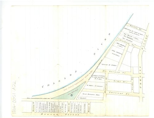
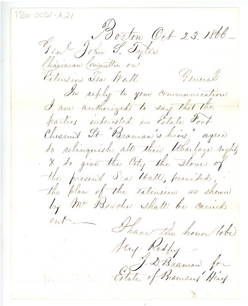
On this day in 1866, this map showing improvements to the Charles River Sea Wall was submitted to Boston’s Board of Aldermen. In the attached letter, property owners impacted by the improvements agreed to relinquish their wharfage rights, as long as the city followed the above plan.
Dockets 1868-0051-A22. 1866, Proceedings of the City Council, Collection 0100.001, Boston City Archives .
Post link
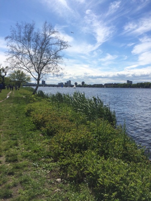
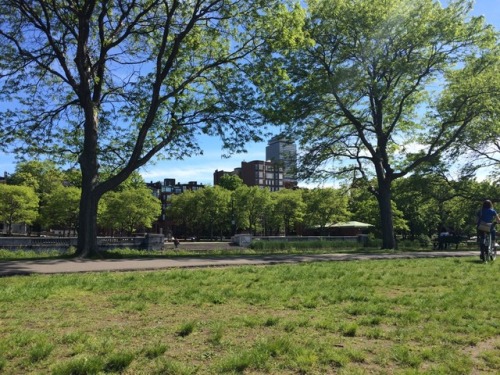
Yesterday, to celebrate the first day of summer, I went for a big walk around Boston. I went from Longwood to the MFA, through the South End and Back Bay to Copley Square, to the Public Garden, through Beacon Hill to the Charles River, and along the Esplanade. I also saw George Washington a few times and got a sunburn.
Post link


