#historical channels
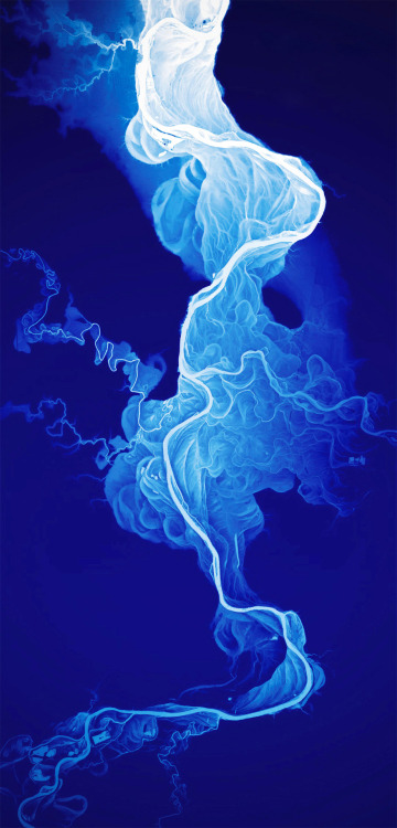
Amap of the Willamette River, by Dan Coe, for the Oregon Department of Geology.
In this lidar-derived digital map (Lidar data is collected by low-, slow-flying aircraft with equipment that shoots millions of laser points to the ground), the shades of white and blue show elevations. This brings out the changes made by the river channel in the last 12,000 to 15,000 years, in the time since the landscape was basically swept clean by the Missoula floods.
Morehere
Post link

