#map librarianship
#Map Librarianship Monday
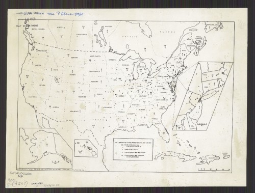
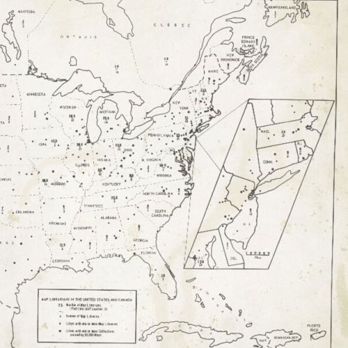
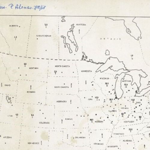
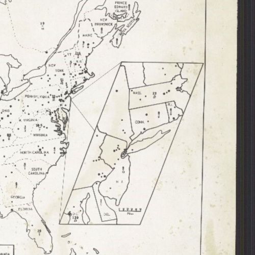
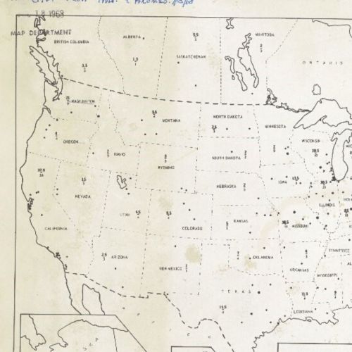
The state of map librarianship in the middle of the 1950s can be visualized in this map, Map Collections in the United States and Canada.It was made by Patricia Ann Greechie Alonso in 1954, based on the Directory of Map Librarians and Collections, and the data were compiled by Marie Cleckner Goodman, who was the Chairperson of the Map Resources Committee of the Geography and Map Division of the Special Libraries Association. According to the directory and the map, there were 527 map collections in the United States and Canada (497 and 30 respectively). Twenty-five of these collections had more than 100,000 sheets, and for context, the AGS Map Department with Curator Ena L. Yonge’s acquisitions expertise had amassed 240,000 sheets by 1954.
800 C-[1954?]
[Image description: Black and white map of the United States and Canada showing the amount of librarians per map library in each state and province by ratio.]
Post link

