#scottish isles
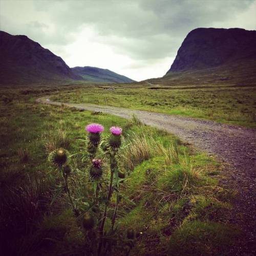
Blooming thistle in North Harris (Na Hearadh), Western Isles. Mèabhaig gu Bogha Glas.
Bogha Glas is a 11 miles path, one of the longest single paths in the Western Isles. The path takes you through one of the largest areas of wild land in Scotland along a centuries old path used by crofters, fishermen and deerstalkers. The first 5 miles follows a good level track through Glen Meavaig. The track is then replaced by a hill path which climbs two ridges and crosses a wide glen before dropping steadily back down towards Loch Seaforth.
Post link
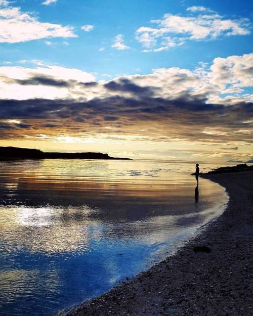
Sunset at Tràigh á Chorail, Claigan, Isle of Skye.
Even though it’s called Coral beach, it’s not really coral but crushed bleached skeletons of red coralline seaweed (Maërl) that makes the water look tropical blue when the sun comes out.
Post link
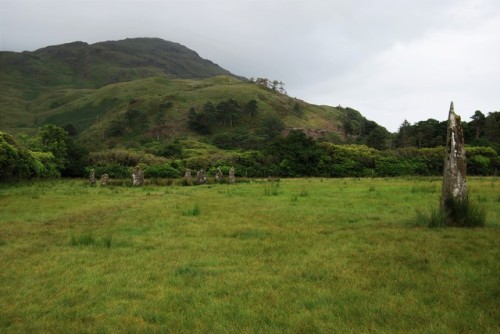
Lochbuie stone circle, Isle of Mull, Scotland 2017
This small stone circle is the only one on Mull and stands in a breathtakingly beautiful setting, under the watchful gaze of Ben Buie.
You have to cross an extremely boggy field to reach it, so wear your tallest wellies and be very careful if you don’t want to be found as a bog body in thousands of years. Peat bogs are a type of wetland where the water on the ground surface is acidic and low in nutrients. They are filled with decaying organic matter, usually feature rich biodiversity and from a distance, they look rather homogeneous. However closer up, you discover that peat bogs are actually not that uniform in surface, depth or texture. In fact, they’re quite treacherous as you can never tell how deep (sometimes VERY deep) or spongy your next step is going to be. Hiking through them can be hell, as you can sink in bogs quite quickly.
The circle probably dates to the late Neolithic (3000 BC) or early Bronze Age. There were originally 9 stones, all of local granite. One of the stones has been replaced by a low boulder. The circle is about 12.3 metres in diameter, with the tallest stone about 2 metres high and the smallest about 1.2 metre high. Interestingly, the standing stones have been placed so that their flattest side faces the interior of the circle. There are three outlying stones, one about 5 metres from the circle to the south east. This is a fairly unobtrusive boulder about 1 metre high, and its azimuth of 123° with a very high horizon gives a declination of -12°, of no known significance. The second outlier is a very striking monolith about 3 metres high, standing at least 40 metres to the south west. The azimuth of 223.6° with a horizon height of 0.4° gives a declination of -23.7°, and so indicates the position of the setting sun at the winter solstice. The horizon is now partially blocked by nearby trees. Much further away (about 110 metres) is the third outlier, which is roughly 2 metres high. This stone looks like it has suffered a break near the top and was probably much taller when it was first erected. The bearing of 237° and an altitude of just over 2° gives a declination of -16.0°. This is the declination of the sun at the winter Quarter days in early November and early February.
Post link

