#explorations
Analyse der Keramik aus der frühmittelalterlichen Siedlung am Standort Ledine bei Torčec
http://bit.ly/1zkRKeZ
Extracts from the Presbytery Records of Dalkeith, relating to the parish of Newbattle, during the incumbency of Mr Robert Leighton, 1641-1653.
http://bit.ly/1a9CaZ9
Further Megalithic Discoveries and Explorations in the Islands of Malta during 1892 and 1893, under the Governorship of Sir Henry A. Smyth, K.C.M.G.
http://bit.ly/10vRiry
Ethnographic Materials and Ethnoarchaeology Workshops Regarding Northern Baja California Indians
http://bit.ly/1dTVsym
Learn more about Open Access and Archaeology at: http://bit.ly/YHuyFK
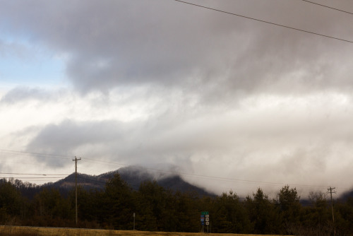
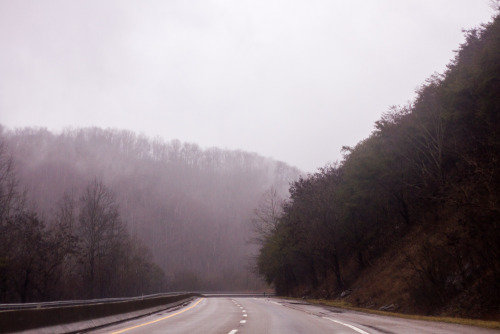
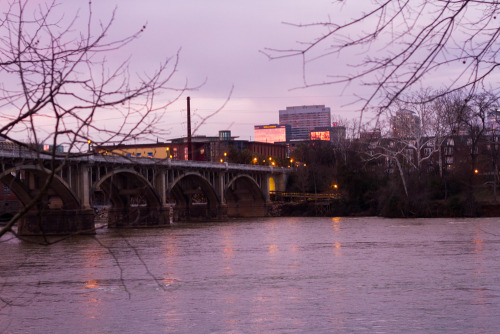
explorations: columbia, south carolina (and en-route).
all for sale at http://society6.com/aliciaheximer
Post link
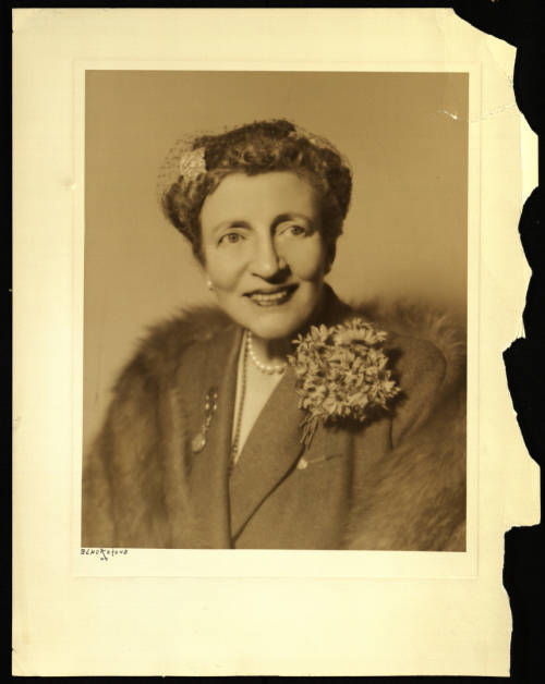
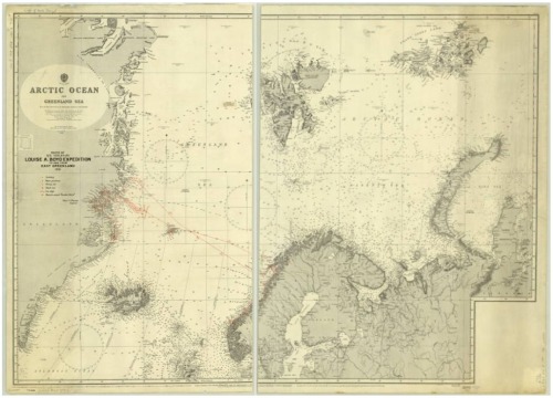
Louise Arner Boyd (pictured above), lead expeditions to the Arctic from 1926-1941, where she focused on polar geography and photography. The map featured hand written annotations by Louise Boyd in red to show: icebergs, noon positions, heavy ice, slack ice, ice edge, Danish vessel “Gustav Holm,” routes and dates. The third photo is Louise Glacier at Avannaarsuani Tunumilu Nuna Allanngutsaaliugaq (Northeast Greenland National Park), formerly known as Louise Boyd Land.
Map’s call number: 110-b B-1931 Boyd Expedition of 1931
[Image description 1: A photo of Louise Arner Boyd with her hair pulled back in a net. She wears a sport coat jacket and large flower brooch. Image 2: A map of the Arctic Ocean and the Greenland Sea with red annotations by Boyd. Image 3: A black and white photo of a glacier.]
Post link


