#nubravalley
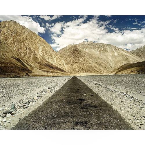
I took this picture in the Nubra Valley near the Pakistani border in Northern India as I was traveling back to Leh. The common way to access that valley is to cross the Khardung La pass, the world highest motorable pass at an altitude of 18,000 ft. #india #kashmir #nubra #nubravalley #leh #kodak #kodakfilm #khardunglapass #khardungla
Post link
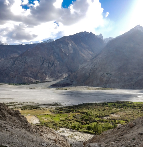
In the mountains you can get a lot of two things, rocks and sediments produced from the break down of those rocks. In the foreground and in the background around the feet of the mountains you can see two big piles. These are called alluvial fans. It is basically a dump of sediments that was flushed down the small valleys into a big valley. What runs between these two alluvial fans is a major river which is a conveyor belt of the sediment that slowly moves it down the valley, down the mountains, down the floodplains and eventually into the ocean.
See it as a highway for moving of sediment.
Nubra River, Himalaya.
Post link
Dunes pictured are at elevation of around 3000 metres (~9850 feet) above sea level, located in western part of the Himalaya Mountains.
Steep valley walls that stick out about 1000–2000 metres (3280–6560 feet) above the valley floor create a narrow corridor. This corridor captures major air mass movements which blow around the sands on the valley floor that eventually make up dunes.
Arch-shaped patters are sand layers within old dunes that have partially eroded. The erosion has exposed the internal structure revealing how the dune was constructed.
Nubra Valley, Ladakh, Himalaya
Post link


