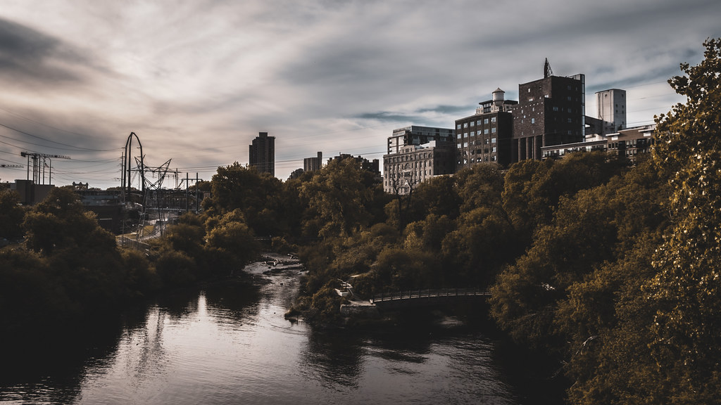
#mississippi river
Celebrate International Museum Day with a visit to the Minnesota Museum of the Mississippi, which is celebrating its 25th anniversary this year! http://www.mnmuseumofthems.org
Post link
Tales From The Riverbank 2 - Two Ways of Seeing a River
Tales From The Riverbank 2 – Two Ways of Seeing a River
Seascapes haven’t been the only marine subject this summer – as I said in the first of the riverbank posts, I have gone back to drawing the River Thames more since the Big Burn Out after Lockdown 1 where it was the only nearest subject I had, and it became stifling as much as I tried to vary it. Boats have been a frequent subject in my work included messing around with boats and Kingston Regatta,…

TheGeorge M. Verity (renamed from the Thorpe) docked at its new home on the banks of the MIssissippi River, where it will be turned into a museum. Photograph by Leo W. Gredell. 11 May 1961.
Post link
Construction of the Keokuk-Hamilton Bridge on 4 May 1985.
The bridge would eventually span 3,341 feet and opened in November 1985. It accommodates more than 13,000 vehicles every day.
The Keokuk Rail Bridge (also called the Keokuk Municipal Bridge) can be seen directly to the left of the new bridge, and the George M. Verity steamboat can be seen in the lower right hand corner of the photograph.
Post link
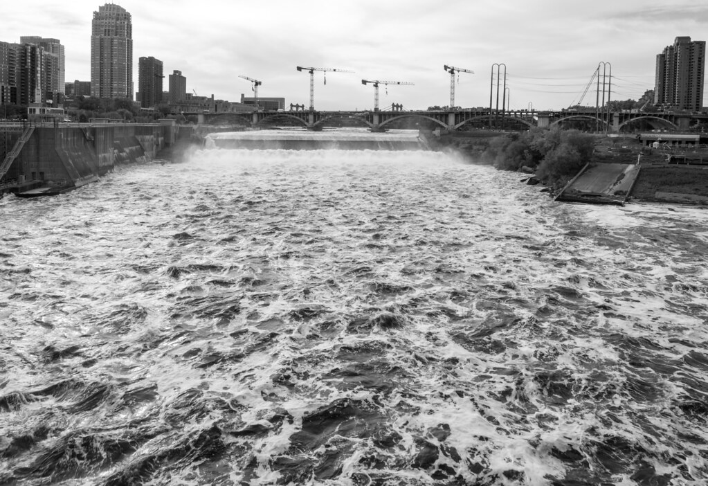
Day 453, flooding this year is pretty crazy

This map shows the Mississippi, Red, and Black Rivers according to Jacques-Nicolas Bellin’s observations during his role as a hydrographic engineer for the French government. It is included in his 1764 work, Petit Atlas Maritime, which contains over 500 maps of coasts and port cities.
Here is a translation of the map’s “Remarques sur la Riviere Rouge” (Remarks on the Red River).
The Red River is very difficult to navigate upriver, especially in low waters, but in high waters, we pass everywhere. Along its banks, there are a lot of lakes and wetlands. This river is full of crocodiles and fish. Its banks are abundant in wild animals such as oxen [or buffalo], bears, tigers, wolves, stags, and deer. There is also a quantity of game such as turkeys, geese, bustards, swans, and ducks of all species. All sorts of wild fruit trees and vine stocks that contain muscat [grapes] and other grapes.
Images from: Bellin, Jacques Nicolas. Suite du cours du fleuve St. Louis : depuis la rivière d'Iberville jusq'à celle des Yasous, et les parties connues de la Rivière Rouge et la Rivière Noire. Paris, 1764.
Call Number: G3200 DRAWER 1 MAP 39
Catalog Record: https://bit.ly/30rj5Ec
Post link
Matt & Daniel vs. The Ghost Town - Rodney Mississippi


