#creeks


Artist’s Temporary Decaying Art Brings Enchantment To The ForestBritish sculptor Andy Goldsworthy is known for his phenomenal and temporary, installations which involve using natural elements, ranging from sticks, stones, leaves and twigs and anything that grows out of the earth. Sharing a special connection with the land ,which he celebrates in all his sculptures, Goldsworthy shows the world that nature cannot be contained, but only its beauty can be held on a canvas for precious few moments before the land recalls what it once grew.
Post link

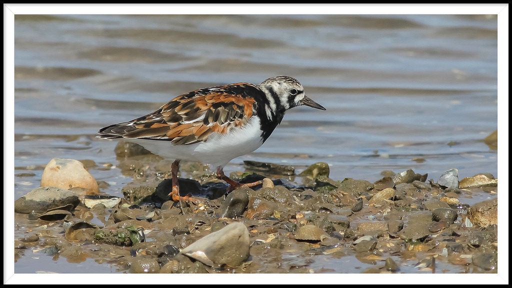
Turnstone in Summer Plumage.. by Adam Swaine
Via Flickr:
Tidal creek at Brancaster Staithe on North Norfolk coast ..The Turnstone can be spotted fluttering around large stones on rocky and gravelly shores, flipping them over to look for prey. It can even lift rocks as big as its own body! Although a migrant to the UK, it can be seen all year-round as different populations arrive throughout the seasons.
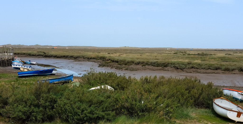
Morston Salt Marshes..Norfolk Coast. by Adam Swaine
Via Flickr:
Norfolk Walk Morston Salt Marshes from Morston Quay This short route explores parts of the Mortson Salt Marshes that are accessible on foot. The route starts from the visitor centre (Grid ref. TG006442) which is signed from the A149 Cromer to Hunstanton road in the centre of Morston village. The walk is subject to tides and maybe wet underfoot. Times of tides are available locally and the walk not attempted on a rising tide as there is a danger that you may be cut off or stranded. It must also be stressed that this walk should not be attempted in mist or poor visibility as the lack of landmarks on the marshes can be disorientating
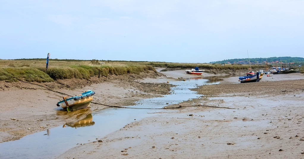
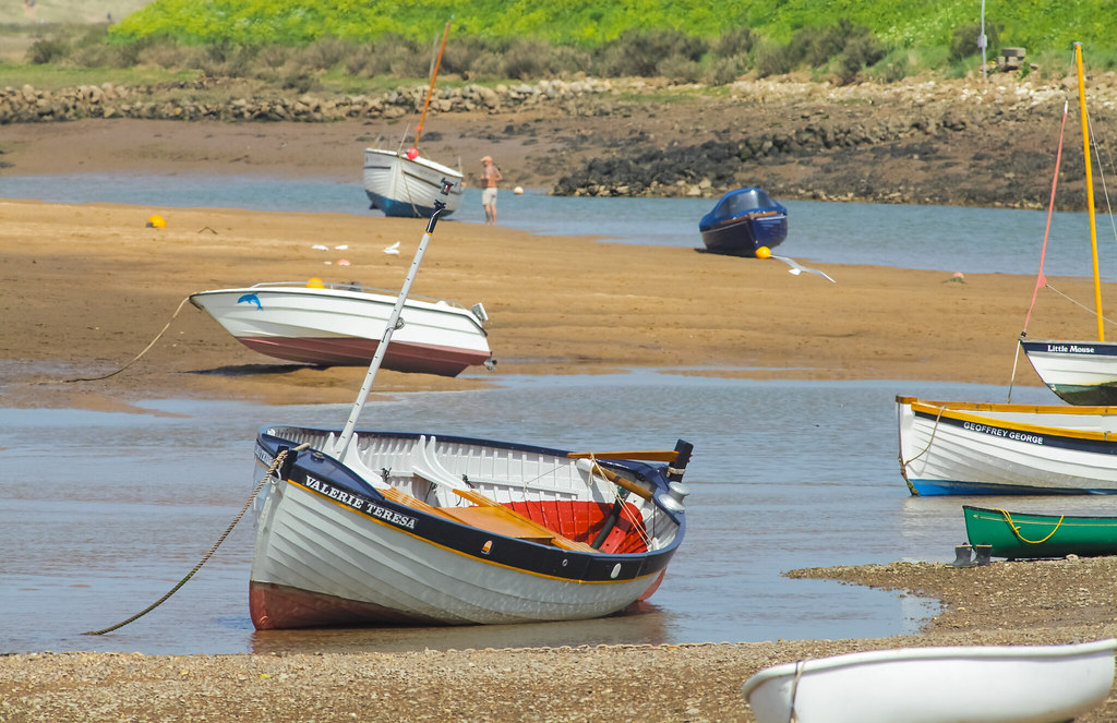
Morston Salt Marshes Norfolk by Adam Swaine
Via Flickr:
Morston lies within Blakeney National Nature Reserve, which also includes Blakeney Point and Stiffkey Marshes. With its big skies, haunting marshes, meandering tidal creeks and wide open sandy beaches, it is one of the largest areas of undeveloped coastal habitats of its type in Europe.
Blakeney Harbour North Norfolk by Adam Swaine
Via Flickr:
Morston Quay National Trust… Blakeney National Nature Reserve.

Dusk on the Glaven @ Blakeney North Norfolk by Adam Swaine
Via Flickr:
River Glaven, snaking its way through Blakeney - Norfolk UK Blakeney: Glaven Estuary

Blakeney National Nature Reserve Norfolk.. by Adam Swaine
Via Flickr:
River Glaven..The River Glaven flows for 17 km through one of the most beautiful valleys in England. Rising from tiny headwaters in lower Bodham and Baconsthorpe, the main river begins just below Selbrigg Pond where three streams combine at the outfall. Thereafter, it descends through wooded hills of glacial debris and passes through lush countryside and picturesque flint villages. Finally, the river meets the sea behind Blakeney Point. The Glaven is surrounded by arable land, coniferous plantations, grazing meadows and wetlands. The river is a haven for wildlife.

Morston Marsh …Blakeney Harbour NT by Adam Swaine
Via Flickr:
A rich area for wildlife Morston lies within Blakeney National Nature Reserve, which also includes Blakeney Point and Stiffkey Marshes. With its big skies, haunting marshes, meandering tidal creeks and wide open sandy beaches, it is one of the largest areas of undeveloped coastal habitats of its type in Europe..
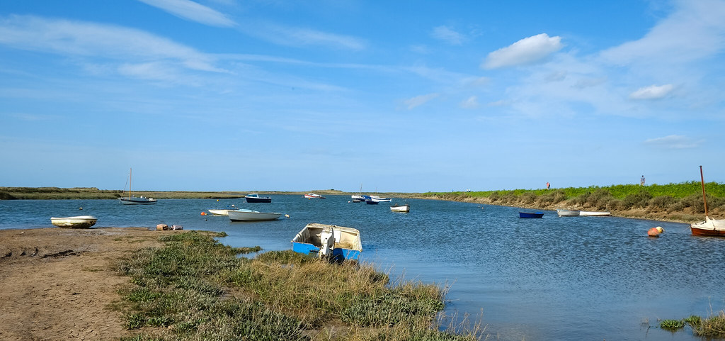
BURNHAM OVERY STAITHE - River Burn by Adam Swaine
Via Flickr:
Burnham Overy Staithe PE31 8HN..Burnham Overy is made up of two settlements, Burnham Overy Town the original village adjacent to the parish church and Burnham Overy Staithe, a rather larger settlement about 1 mile away and next to the creek-side harbour. Historically Burnham Overy which lies on the River Burn was the port for the surrounding villages of the Burnhams. Until the end of the middle ages, trading ships were able to reach the village, however with silting of the river, commercial traffic switched to the downstream Staithe. Between Burnham Overy Staithe and the sea, a network of tidal creeks reach out trough marshes that fringe this stretch of coast, and finally reach the sea by passing through a gap in the sand dunes known locally as Burnham Harbour. Small boats can reach Burnham Overy Staithe through this gap and creek. Today Burnham Overy Staithe, and the associated harbour, is a major recreational sailing centre. There is a comprehensive chandlery on the quayside. It is also the point of departure for boats out to the Scolt Head Island National Nature Reserve
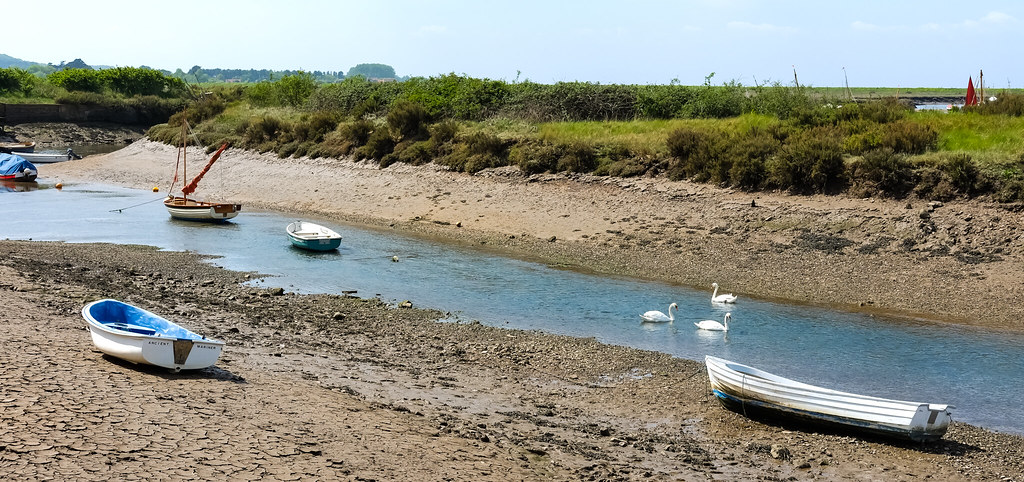
River Burn Norfolk Coast by Adam Swaine
Via Flickr:
The chalk-fed River Burn..flows through a low-lying catchment for 12.1 km before discharging into the salt marshes of Holkham National Nature Reserve (NNR). Its source is close to the village of South Creake, and from here it travels through North Creake and Burnham Thorpe, before widening a little and reaching two watermills – Union Mill and Lower Mill – at Burnham Overy. From here, the Burn widens further and enters Overy saltmarshes, where it eventually flows out to sea.
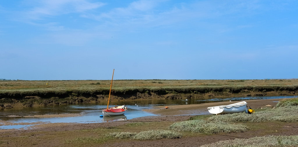
Blakeney - Agar Creek by Adam Swaine
Via Flickr:
The lovely coastal village of Blakeney is one of the most enchanting on the North Norfolk Coast and is one of our favourites. Blakeney started life as a busy medieval commercial port until the estuary began to silt up preventing all but pleasure craft from gaining access. The silting has left a fascinating landscape of marshes, sand hills and mud banks, with many creeks and channels twisting and turning their way through. Blakeney village is set on a small hill leading down to the harbour and has pretty flint cottages (many for holiday rent), shops, cafe’s, restaurants, hotels, pubs and inns

Creeks @ Thornham Norfolk by Adam Swaine
Via Flickr:
We were soon off along the coastal path heading towards Holme, and the Norfolk Wildlife Trust’s reserve at Holme Dunes. At Thornham harbour – really just a few boats moored to some rather ramshackle looking landing stages – the marshes stretch either side of the road that leads to a small raised car park once the site of a large grain store. The channel was deeper then, and much larger boats than the few pleasure craft now here could access this far inland. Not so long ago farming supported most of the communities near here, and the ability for fairly substantial vessels to be able to transport the crop pretty much anywhere must have been invaluable. If you don’t mind getting muddy – and I do mean muddy – you can gather a crop of your own here; samphire


Hydrological Map of Canada by Joy Charbonneau
Stripped of imposed borders, latitudinal hierarchies and markings of human settlement, the interconnected tracery of creeks, brooks, streams, rivers, basins and lakes is allowed to reclaim its dominance.
Fromhere
(thanks Heather)
Post link
 at Billy’s Creek Jeeralang, V")
a local family of Eastern Grey Kangaroos (pic shot by me) at Billy’s Creek Jeeralang, Vic Australia
Post link