#aerial

LIVE
Manila has 36,000 people per square mile, making it one of the most densely populated cities in the Manila has 36,000 people per square mile, making it one of the most densely populated cities in the Manila has 36,000 people per square mile, making it one of the most densely populated cities in the

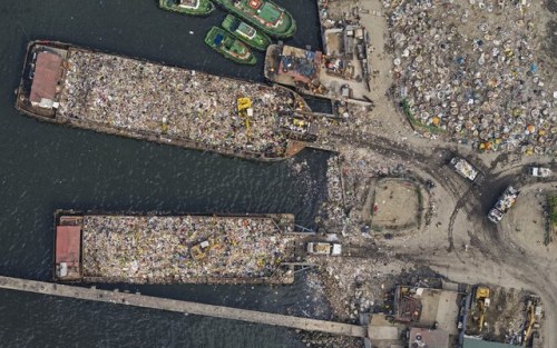
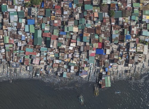
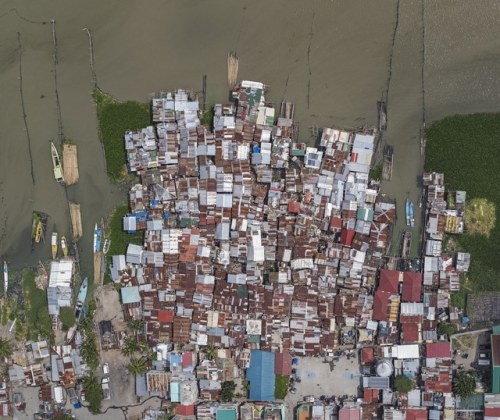
Manila has 36,000 people per square mile, making it one of the most densely populated cities in the world. The density is even higher in the 500 slums that line the city’s rivers, railroad tracks, and garbage dumps, where you can find more than 200,000 people per square mile.

See More: Staggering Views of Manila’s Insanely Crowded Slums


Post link
Winter Paints with Black InkStan Calin AndreiWinter Paints with Black InkStan Calin Andrei

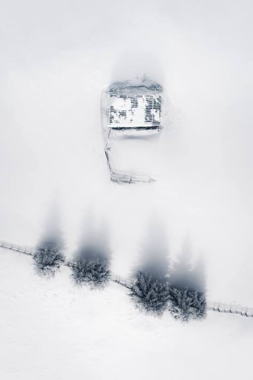
Winter Paints with Black Ink

Stan Calin Andrei


Post link
From the vault, one of the few clubs that had rigging in #Vancouver. Which is now closed.. #circus #

From the vault, one of the few clubs that had rigging in #Vancouver. Which is now closed.. #circus #aerial #burlesque


Post link
Travelin’ from one home to another! #view #aerial #aerialshot #aviation #travel #bw #östersund

Travelin’ from one home to another! #view #aerial #aerialshot #aviation #travel #bw #östersund #jämtland #sweden #winter #snow #djlife


Post link
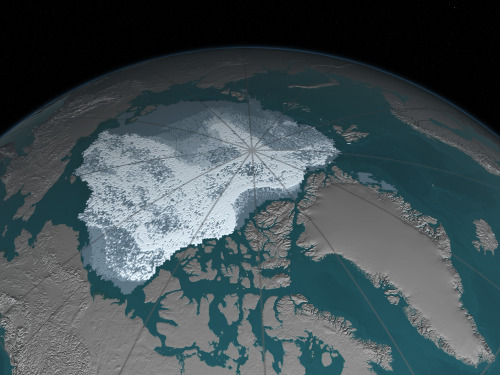
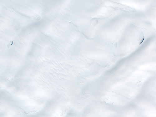
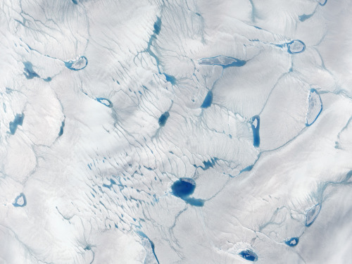
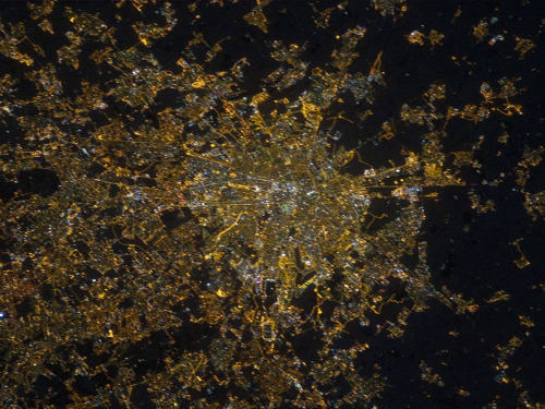
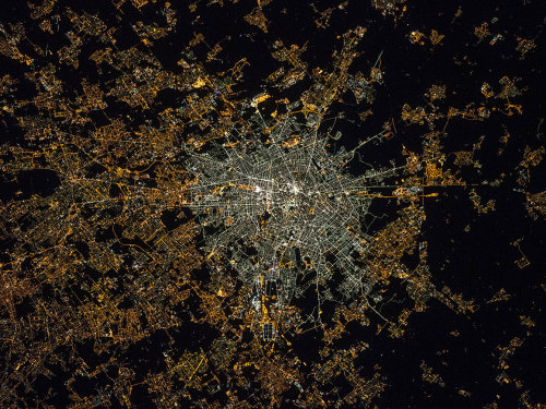
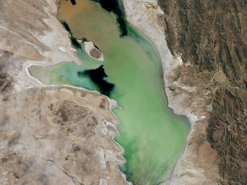
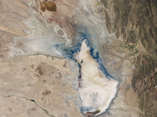
NASA’s interactive Images of Change gallery “features images of different locations on planet Earth,NASA’s interactive Images of Change gallery “features images of different locations on planet Earth,NASA’s interactive Images of Change gallery “features images of different locations on planet Earth,NASA’s interactive Images of Change gallery “features images of different locations on planet Earth,NASA’s interactive Images of Change gallery “features images of different locations on planet Earth,NASA’s interactive Images of Change gallery “features images of different locations on planet Earth,NASA’s interactive Images of Change gallery “features images of different locations on planet Earth,NASA’s interactive Images of Change gallery “features images of different locations on planet Earth,

NASA’s interactive Images of Change gallery “features images of different locations on planet Earth, showing change over time periods ranging from centuries to days. Some of these effects are related to climate change, some are not. Some document the effects of urbanization, or the ravage of natural hazards such as fires and floods. All show our planet in a state of flux.”


Post link
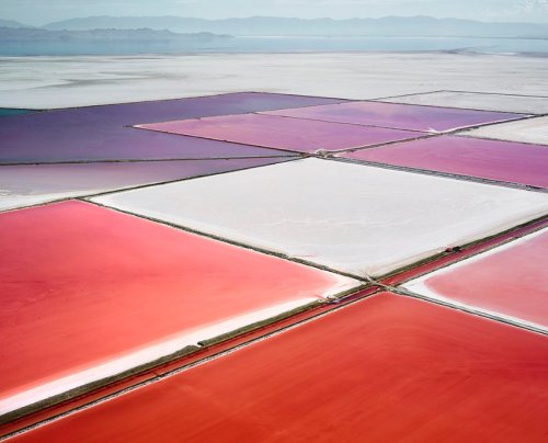
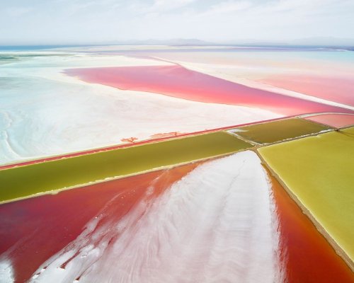
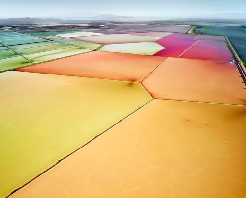
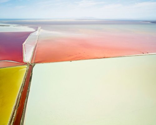
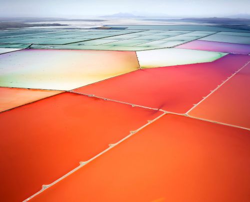
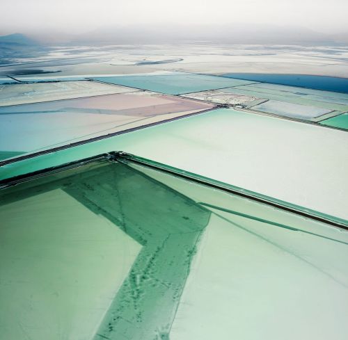
Salt ponds resemble watercolor paintings in these stunning photos by David Burdeny for his Salt SeriSalt ponds resemble watercolor paintings in these stunning photos by David Burdeny for his Salt SeriSalt ponds resemble watercolor paintings in these stunning photos by David Burdeny for his Salt SeriSalt ponds resemble watercolor paintings in these stunning photos by David Burdeny for his Salt SeriSalt ponds resemble watercolor paintings in these stunning photos by David Burdeny for his Salt SeriSalt ponds resemble watercolor paintings in these stunning photos by David Burdeny for his Salt SeriSalt ponds resemble watercolor paintings in these stunning photos by David Burdeny for his Salt SeriSalt ponds resemble watercolor paintings in these stunning photos by David Burdeny for his Salt SeriSalt ponds resemble watercolor paintings in these stunning photos by David Burdeny for his Salt SeriSalt ponds resemble watercolor paintings in these stunning photos by David Burdeny for his Salt Seri

Salt ponds resemble watercolor paintings in these stunning photos by David Burdeny for his Salt Series. The images of salt pans and dry lake beds were captured in Western Australia, Utah’s Great Salt Lake and the Mojave Desert and are meant to investigate “the hybridized result of human-made structures and organic forces.” 


Post link
Shutter island vibes in the Faroe Islands… Find this and some of my favourite photos on my ne

Shutter island vibes in the Faroe Islands…

Find this and some of my favourite photos on my new print shop
Post link
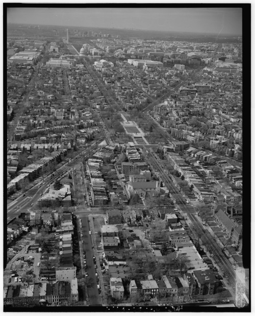
1992. “1. Aerial view of Lincoln Park, looking northwest (photograph enlarged from a 4x5 negat

1992. “1. Aerial view of Lincoln Park, looking northwest (photograph enlarged from a 4x5 negative) – Lincoln Park, Washington, District of Columbia, DC.” Boucher, Jack E., photographer. Historic American Buildings Survey/Historic American Engineering Record/Historic American Landscapes Survey, Library of Congress.


Post link
1915-1923. “Aerial view of U.S. Capitol building, Washington, D.C." Harris & Ewing Co

1915-1923. “Aerial view of U.S. Capitol building, Washington, D.C." Harris & Ewing Collection, Library of Congress.


Post link
loading